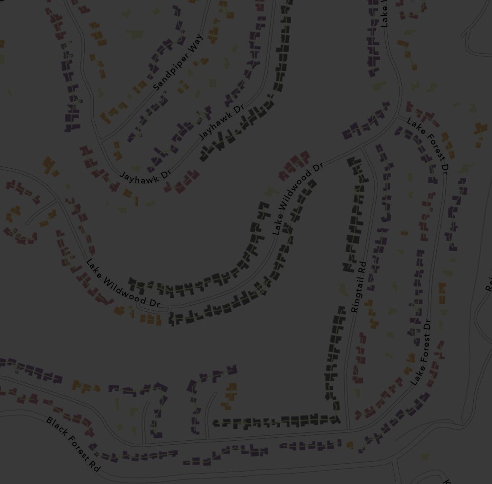
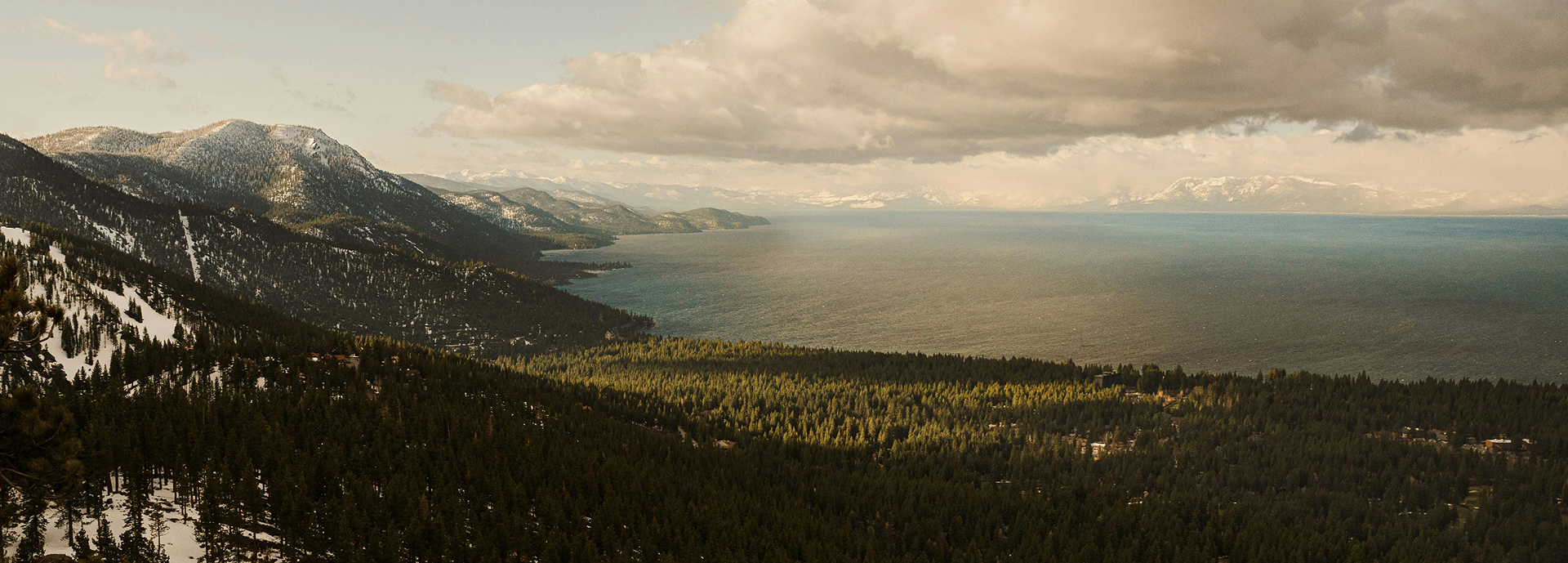
Wildfire managers need current and fine-scale vegetation data, especially forest canopy heights, to understand their wildfire risk, and plan how to protect what matters most. Traditional methods for producing detailed canopy height maps are costly, regionally limited, or collected infrequently. VibrantSR changes that, making fine-scale forest mapping accessible at an unprecedented cadence, resolution, and scale.
.png)
“VibrantSR is the first scalable forest modeling effort that turns public, globally available coarse resolution inputs into forest structure maps that are both fine-grained and accurate enough to be reliable in informing the local management decisions that can help protect communities and the ecosystems they depend on,” explains Nathan Rutenbek, Data and Machine Learning Product Manager at Vibrant Planet.
Now, anyone using Vibrant Planet can act on insights from VibrantSR to conduct regular forest monitoring rather than relying on intermittent aerial flyovers. It’s also a landmark model for the remote sensing community, demonstrating a way to build realistic canopy structures from coarse inputs.
Better Data and Decisions, More Often
VibrantSR will support wildfire risk planning in two main ways:
- It produces clearer pictures of fuel loads, stand density, dominant trees and canopy gaps, inputs that fire behavior models depend on to produce credible spread predictions and prioritize where treatment will have the most impact.
- It delivers those maps far more frequently than aerial methods allow.
Where aerial imaging might refresh canopy data every two to three years, Sentinel-2's five-day revisit cycle means VibrantSR can capture change as it happens. A treatment completed in spring can begin assessment by summer. Post-fire recovery can be tracked season by season rather than year by year. Drought stress can be detected earlier, and the impact of work such as thinning can be measured more quickly across landscapes, giving managers the feedback loops they need to adapt and plan proactively.
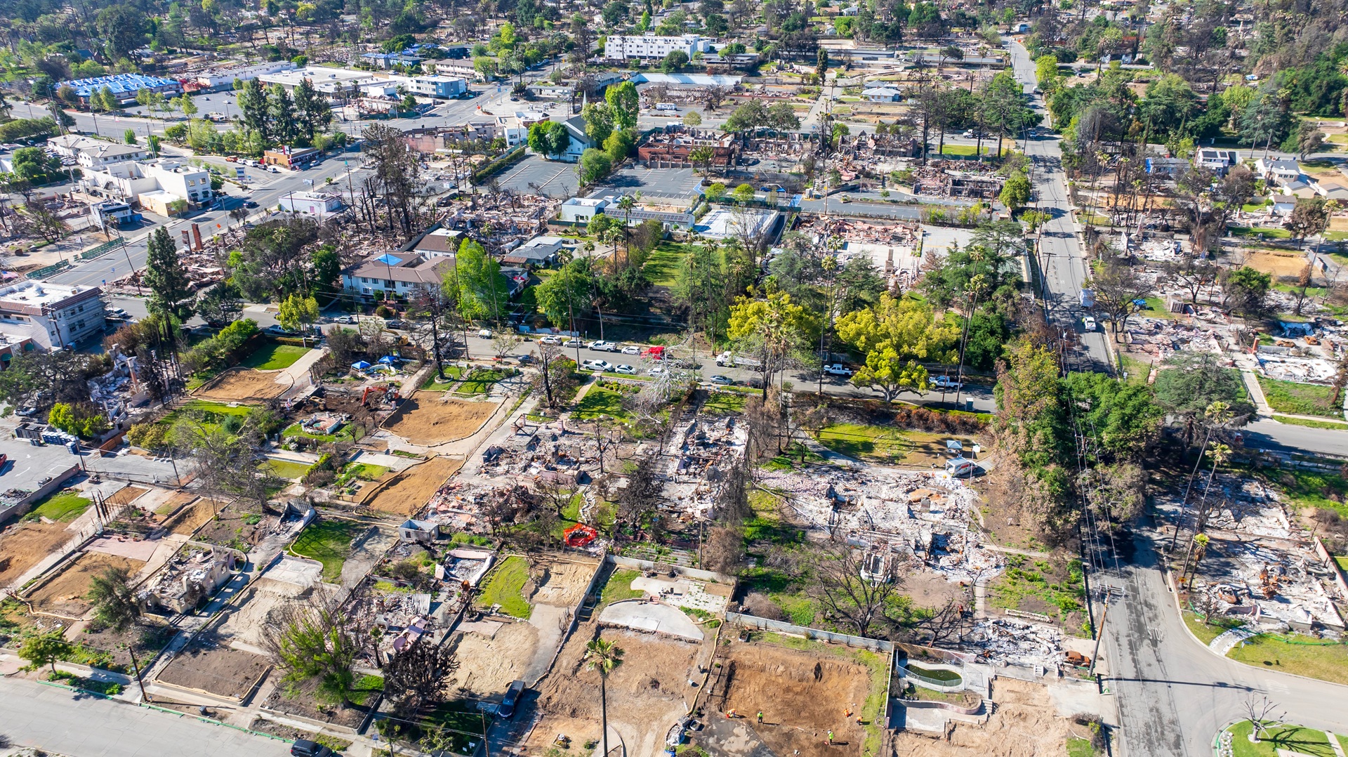
VibrantSR also opens the door to forest monitoring well beyond the United States. As forests in Europe, Southeast Asia, Latin America, and sub-Saharan Africa all face mounting wildfire risk, the organizations working to protect them need accessible, affordable tools. This is a step toward making high-resolution forest intelligence available to anyone, anywhere. No expensive aerial flyovers needed.
From VibrantVS to VibrantSR: The Lineage of our Models
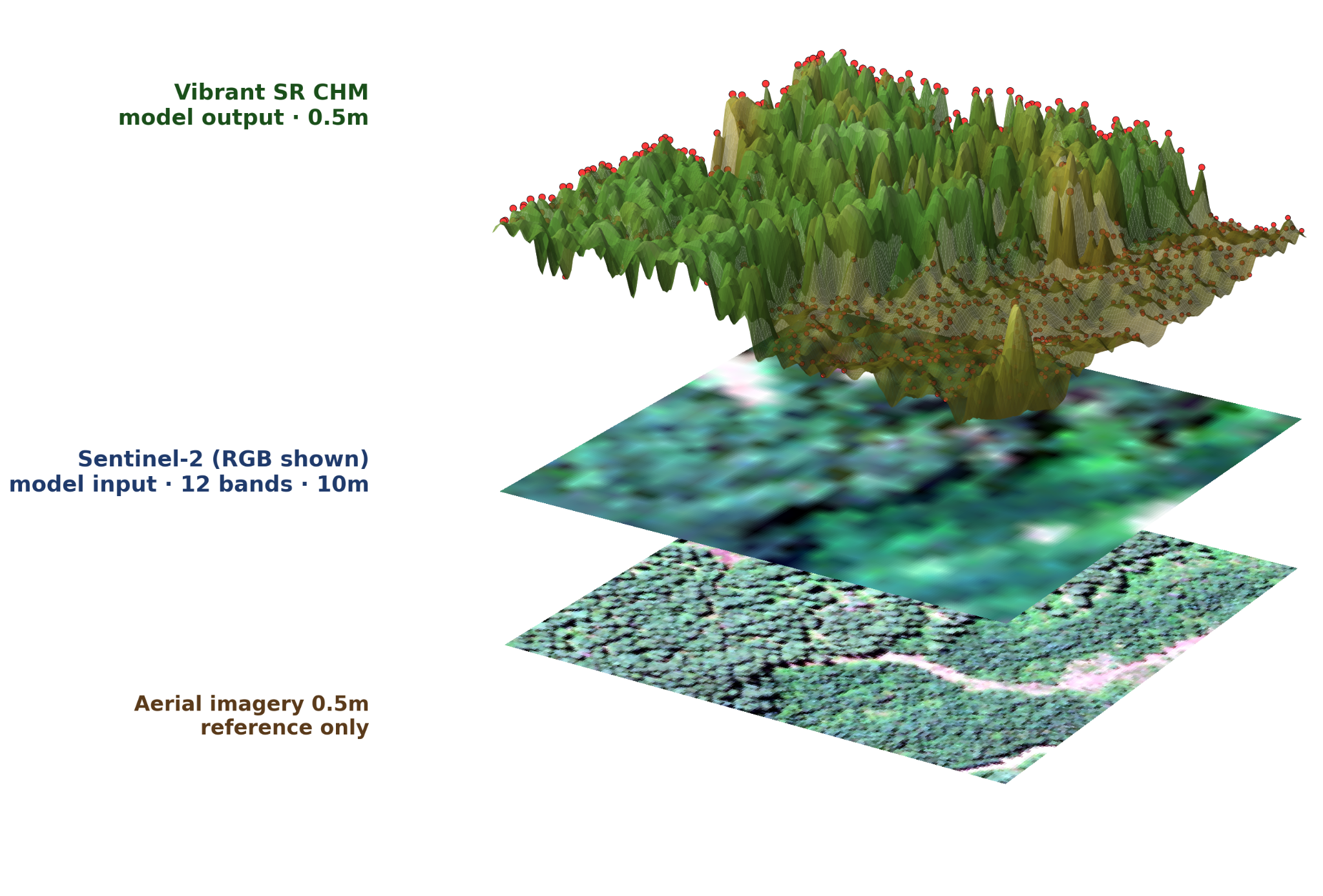
VibrantSR (SR for super resolution) is the latest in our lineup of canopy height models, designed to push the boundaries of scalable, high-quality forest intelligence. Our aerial-based VibrantVS model (VS for vegetation structure) set a new standard for accuracy using high-resolution imagery. VibrantSR builds on that foundation, expanding our canopy mapping capabilities globally by working with Sentinel-2 imagery, a European Space Agency satellite mission that observes the earth and revisits every five days.
With VibrantSR, more regular forest monitoring is now possible to the 0.5-meter level in more places and updated at frequencies that surpass the limits of traditional aerial techniques, without relying on expensive data from private satellite missions.
A Deeper Dive into VibrantSR
"A fundamental challenge with super resolution is the tradeoff between higher resolution and fidelity to ground truth. VibrantSR achieves both: a 20x improvement in resolution and high accuracy against lidar-derived measurements," comments Vincent Landau, Machine Learning Engineer and Project Technical Lead at Vibrant Planet.
To sidestep the tradeoff between a blurry map that's statistically honest or a crisp map that introduces artificial structural detail, VibrantSR uses generative flow matching, a modern approach that models how images evolve in a learned latent space rather than directly predicting the value of each pixel. Standard models tend to average over plausible solutions and lose the fine structural detail critical for applications like individual tree detection and canopy gap mapping. VibrantSR learns what plausible canopy structure looks like at sub-meter resolution and generates maps that reflect that variability, rather than smoothing it away.
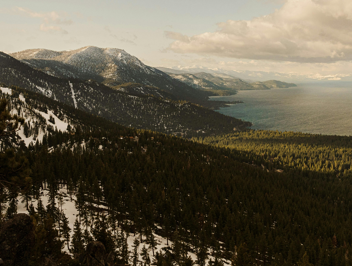
In a publication accepted into both CVPR and ICLR (CVPR paper here), VibrantSR was tested across western U.S. eco-regions and found to outperform leading satellite-based canopy height models on accuracy, achieving a Mean Absolute Error of 4.39m versus Meta (chm v1) (4.83m MAE), LANDFIRE (5.96m), and ETH (7.05m). It performs especially well in structurally complex, high-biomass landscapes like the Rockies, Sierra Nevada, and Cascades — regions where resilience planning is needed now more than ever as wildfire risk grows.

Kiarie Ndegwa, Senior Machine Learning Engineer at Vibrant Planet, VibrantSR project lead and first author of the paper, shares, “what thrills me about Vibrant SR isn't the canopy reconstruction itself — it's where the same machinery is about to go. We took the modern generative-modeling toolchain — flow matching, the world-model paradigm — and turned it on the planet. Canopy was the first layer the model learned to see: sub-meter forest structure recovered from a single 10m Sentinel-2 image. The recipe generalizes to every layer where the world is finer than the open sensors that cover it — weather brought down from regions to watersheds, climate resolved at the scale of a hillslope. The fine signal isn't read from a sharper instrument. It's sampled from a learned distribution over what the coarse one implies.”
Our mission is to accelerate landscape resilience planning, and that work doesn't stop at any border. We're actively exploring how to extend and validate VibrantSR across new geographies and forest types, motivated by the communities and ecosystems that stand to benefit most, and the wildfire risk managers working to protect them.
Interested in using VibrantSR for your resilience planning? Learn more here. Interested in partnering? Reach out to Chelsey Walden-Schreiner, Director of Science Development, chelsey@vibrantplanet.net.


.png)