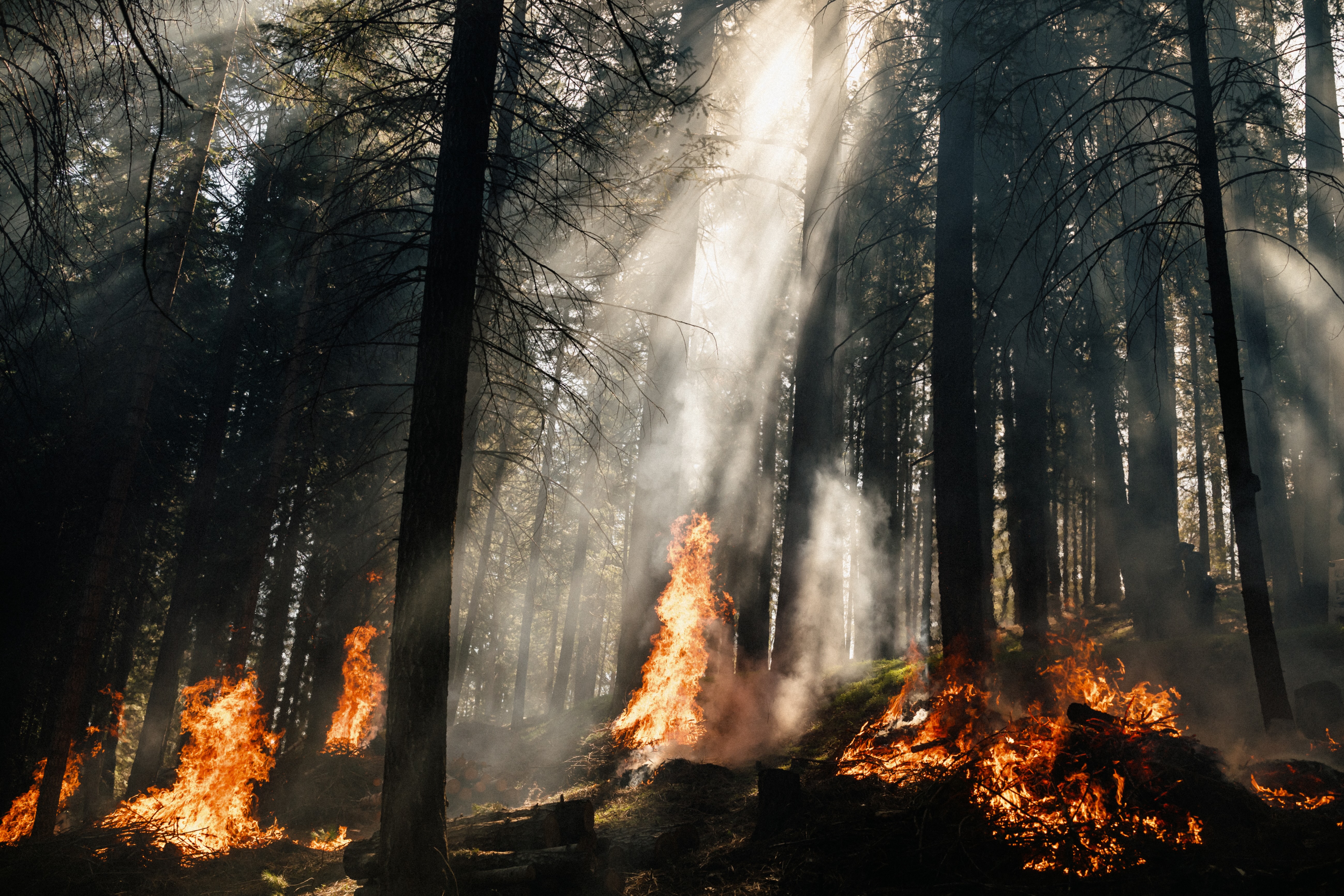
Fire Science Powered by Pyrologix
Pyrologix is the industry leader in landscape-scale and community-level wildfire hazard and risk modeling, with decades of experience in advanced scientific modeling – proven by trusted partnerships.
Scientific Authority and Rigor
- 50+ peer-reviewed publications
- Leading user of FSim, the U.S. government-standard wildfire hazard model
- Committed to developing public domain datasets including: Wildfire Risk & Fuel Management and Ignition Density
- Quantified accuracy, proven by a new validation study
The Trusted Modeling Partner
Pyrologix fire science directly informs regional and national wildfire management strategies across major state and federal agencies.
.png)
Peer-Reviewed Research Driving Action
Leadership in Community Risk Assessments
As the selected modeling partner for wildfirerisk.org, Pyrologix provides data and models to map community wildfire risk comprehensively across the U.S. Using their internally developed model, WildEST, they annually update and maintain measures of fire intensity, ember production and load, and risk to buildings.

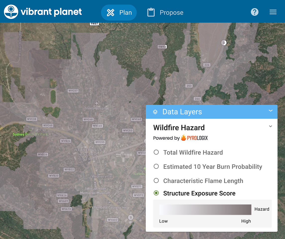
Measuring Structure Exposure
Pyrologix's risk to potential structures model is one of the few publicly available, nationwide measures of potential structure loss. The model is also integrated within Vibrant Planet. Their structure exposure score data, which is a comprehensive integration of burn probability and damage potential, can be attributed to any building or location in the US.
This wildfire modeling accounts for fire spread into developed areas, offering valuable insights for land management, land development planning, insurance, mortgage risk assessments, banking sector analysis, and community safety initiatives. Their method of assessing exposure in developed areas is used in the Wildfire Risk to Communities project, which showed events like the Lahaina Fire and Marshall Fires were possible.
This wildfire modeling accounts for fire spread into developed areas, offering valuable insights for land management, land development planning, insurance, mortgage risk assessments, banking sector analysis, and community safety initiatives. Their method of assessing exposure in developed areas is used in the Wildfire Risk to Communities project, which showed events like the Lahaina Fire and Marshall Fires were possible.