Laying the foundation across large landscapes
Across the Western US, large land managers and collaboratives are implementing substantial landscape wildfire resilience strategies. This work has required complex analyses of landscape features like biodiversity habitat and infrastructure, current vegetation, and comprehensive wildfire burn probability and intensity modeling, to name a few. This has also required thorough collaboration with on-the-ground partners to understand the best risk-mitigating strategies in a complex planning environment. Together, these efforts equate to thousands of hours of work spread across partners’ teams, as well as our own team. We’re impressed with the depth and breadth of our partners’ achievements to date, helping implement wildfire risk resilience projects across 35M acres.
We’re also seeing how partners of different scales but in equally complex collaborative environments, such as local fire districts or resource conservation districts, might benefit from this work. Within Vibrant Planet's 35M acre footprint, we see an opportunity for communities to leverage the data and analyses we now have readily available. That's why we're offering these communities access to our platform, so they can use the pre-developed analytics at no additional cost.
How communities are quickly mobilizing on risk
We’re broadcasting that this solution is already deployed and ready for use at no cost, because we believe in the benefits of our analysis to support community wildfire resilience. Based on our risk-reduction work with communities such as Truckee, Placer County, and Marin California, we see ways to solve their common challenges. Communities are navigating many competing priorities, operating within finite budgets, managing teams with focused expertise, and assessing and prioritizing faster than ever before. Meanwhile, conditions are constantly changing and the wildfire risk never seems to stop climbing.
Now, communities located within our footprint can use our platform at no charge to alleviate some of their biggest challenges:
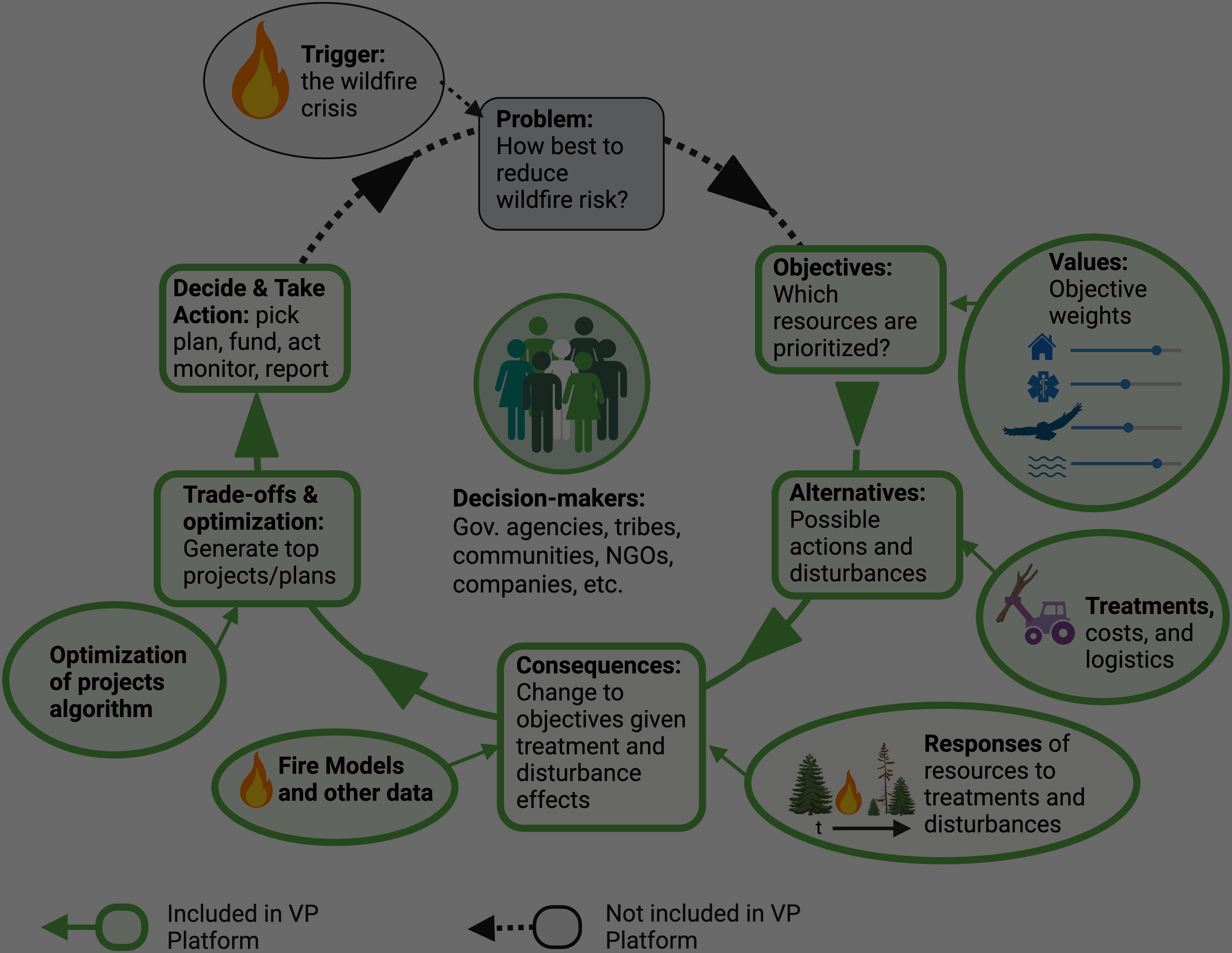
- Collaborate across boundaries – Use Vibrant Planet’s common operating picture to collaborate with local partners, making it easier to identify and assess tradeoffs of protecting different community values, assets, and ecosystem services.
- Assess risk – Instant access to our industry-leading hazard modeling, built by Pyrologix, a Vibrant Planet Company, to understand risk to the values a community cares most about.
- Build a living CWPP – Incorporate our analysis and risk modeling into a more dynamic, actionable Community Wildfire Protection Plan (CWPP) that can be continually updated as the landscape, priorities, budgets, and implementation realities evolve.
- Identify most impactful defensible space work – B project-specific action plans with prioritized, viable treatment options that will result in the highest impact, reduce risk, and are tailored to community constraints.
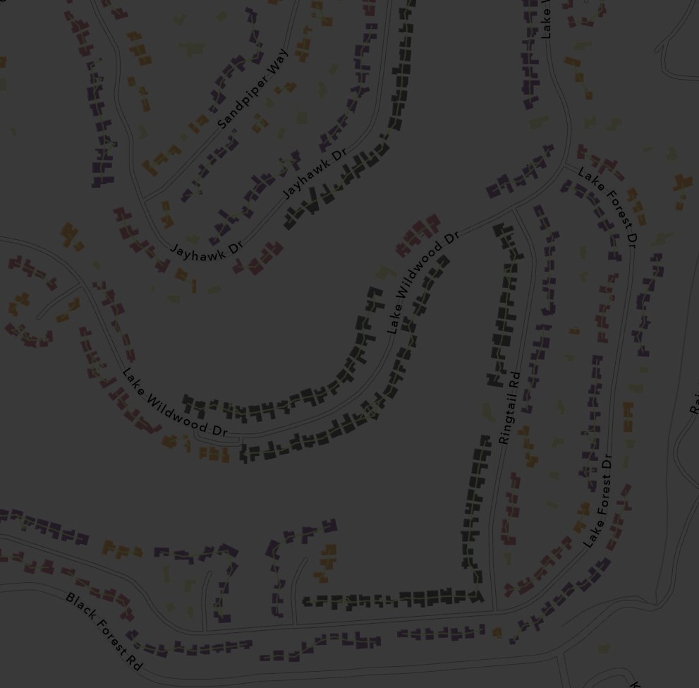
- Prioritize home inspection focus areas – Use a structure exposure scoring derived from ember cast modeling, combined with available structure susceptibility data, to inform how you prioritize inspections and phasing
Our work is growing across community-level projects, and we’re excited to increase this impact. For example, the Truckee Fire Protection District recently gathered consensus across 10+ partners, assessed values-at-risk, and identified the highest impact areas to implement treatments in record time. This work resulted in an actionable, living CWPP and over 7k acres of prioritized fuel reduction work, sequenced and scaled to the individual tree-level.
As Dillon Sheedy, Assistant Wildfire Prevention Manager at Truckee Fire Protection District, states, “following upfront customization, in just 9 weeks, we used Vibrant Planet to generate the district-wide partner consensus we needed to build our CWPP – a process that normally takes over a year.” Learn more about our work with Truckee Fire.
A solution for advancing community wildfire resilience
We welcome communities in the Sierra Nevada, Front Range Colorado, Southern Oregon, Enchanted Circle, Southern California, and Southwest Idaho landscapes to reach out to us and learn about using our platform at no cost. We hope these communities can leverage these existing analytics to build implementation strategies and living CWPPs, and mobilize faster on risk reduction opportunities.
In the era of megafires, we must work together, share our resources, and move faster to protect and build more resilient communities and ecosystems. For communities that are interested in using our platform where the area has not yet been analyzed, we’ll work to find a solution that delivers the data and insights they need to build actionable strategies. Together, we can build a more resilient future for our communities and ecosystems.
To learn more about our community wildfire offering, reach out to us here.


